MOUNT ASCUTNEY REGIONAL COMMISSION
  • Home
  • ABOUT US
    • MARC Board >
      • Committees
    • Financial Data
    • Policies & Procedures
    • Job Openings
  • CONTACT US
    • Contact Info & Directions
    • Staff
  • TOWNS
    • Town of Andover
    • Town of Baltimore
    • Town of Cavendish
    • Town of Chester
    • Town & Village of Ludlow
    • Town of Reading
    • Town of Springfield
    • Town of Weathersfield
    • Town of West Windsor
    • Town of Windsor
  • PROGRAMS
    • Brownfields
    • Community Development
    • Emergency Management >
      • Regional Emergency Management Committee
    • Energy
    • GIS Mapping
    • Healthy Communities
    • Housing
    • Land Use Planning
    • Municipal Technical Assistance Program
    • Transportation
    • Water Resource Planning
  • PUBLICATIONS
  • GRANTS & RFP's
    • GRANTS
    • RFP's

Water Resource Planning

​About the Water Resource Planning Program

Water is an essential part of our lives. Poor water quality can negatively affect drinking water, household use, irrigation, recreation, fishing, commerce, and our environment. Water resources can be degraded by non-point source pollution, shoreline development, sedimentation, failing septic systems, poor agricultural and silvicultural practices, fuel spills, and invasive species, just to name a few. Nearly all these problems can be avoided by proper planning and prevention measures.
 
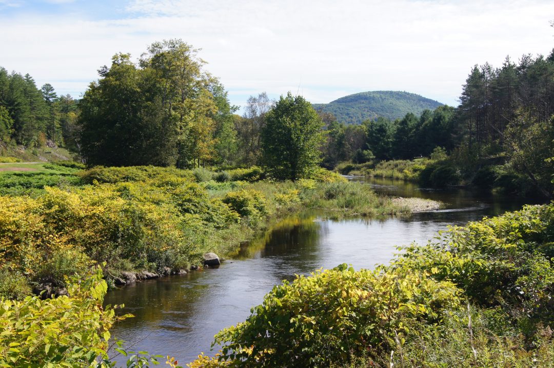
The region is covered by a network of rivers and streams, including the Black River, Williams River, and the Mill Brook. The rivers and streams all eventually feed into the Connecticut River which runs along the eastern border of the region. Planning for the region’s watersheds requires an understanding of how rivers are moving and changing over time. In 2011, several watersheds were severely impacted by the flash flooding that followed Tropical Storm Irene’s extreme rainfall – particularly the Black River, Williams River and Mill Brook watersheds. 

MARC works with town, state, and federal governments, and other regional organizations to provide planning assistance, technical support, and additional resources on a variety of water resource planning initiatives. 

Staff Contacts:  Chris Yurek and  Cindy Ingersoll
Picture

Water Resource Planning Quicklinks

  • Act 64 (2015 Vermont Clean Water Act)
  • Basin Planning
  • Clean Water Design and Implementation Block Grant​
  • Flooding, Fluvial Erosion Hazards, & River Corridors
  • Municipal Roads Grants-in-Aid Program
  • River Corridor Planning
  • Enhancement Development, Design and Implementation Block Grant(NEW)

Black River Action Team

Picture
Picture
Mount Ascutney Regional Commission
PO Box 320
38 Ascutney Park Road
Ascutney, VT 05030

802-674-9201